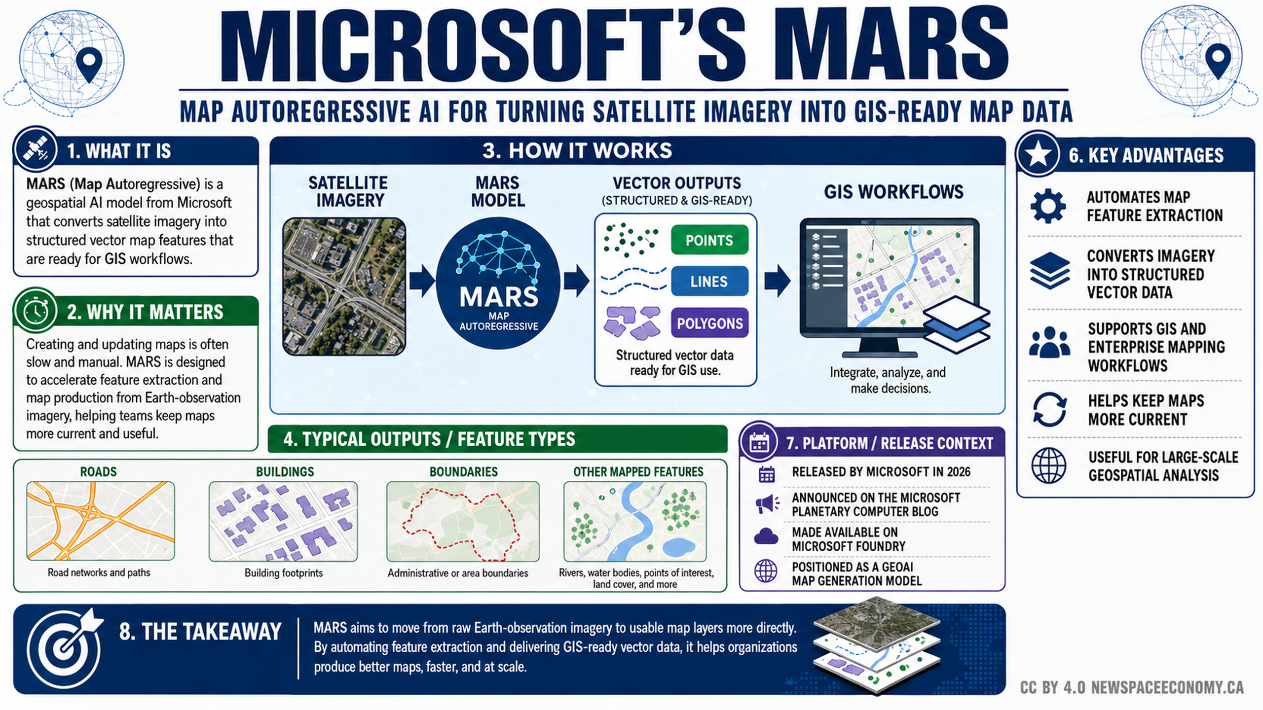
MICROSOFT’S MARS This infographic presents a Microsoft geospatial AI model that turns satellite imagery into structured vector data for GIS use. It outlines the processing workflow, common mapped features, stated advantages, and release context shown in the graphic.ShareDownloadFeedback 0 Recommend 0 recommendations Leave this field blank Have feedback about this infographic or portfolio? Let us know. What is the issue? (select at least one) Incorrect information Spelling or grammar issue Image does not load Download does not work Incorrect infographic assigned to this portfolio Duplicate infographic Poor image quality Text is difficult to read Accessibility problem Broken link or button General comments (optional) Submit Cancel More From This GroupTO BE CATEGORIZED