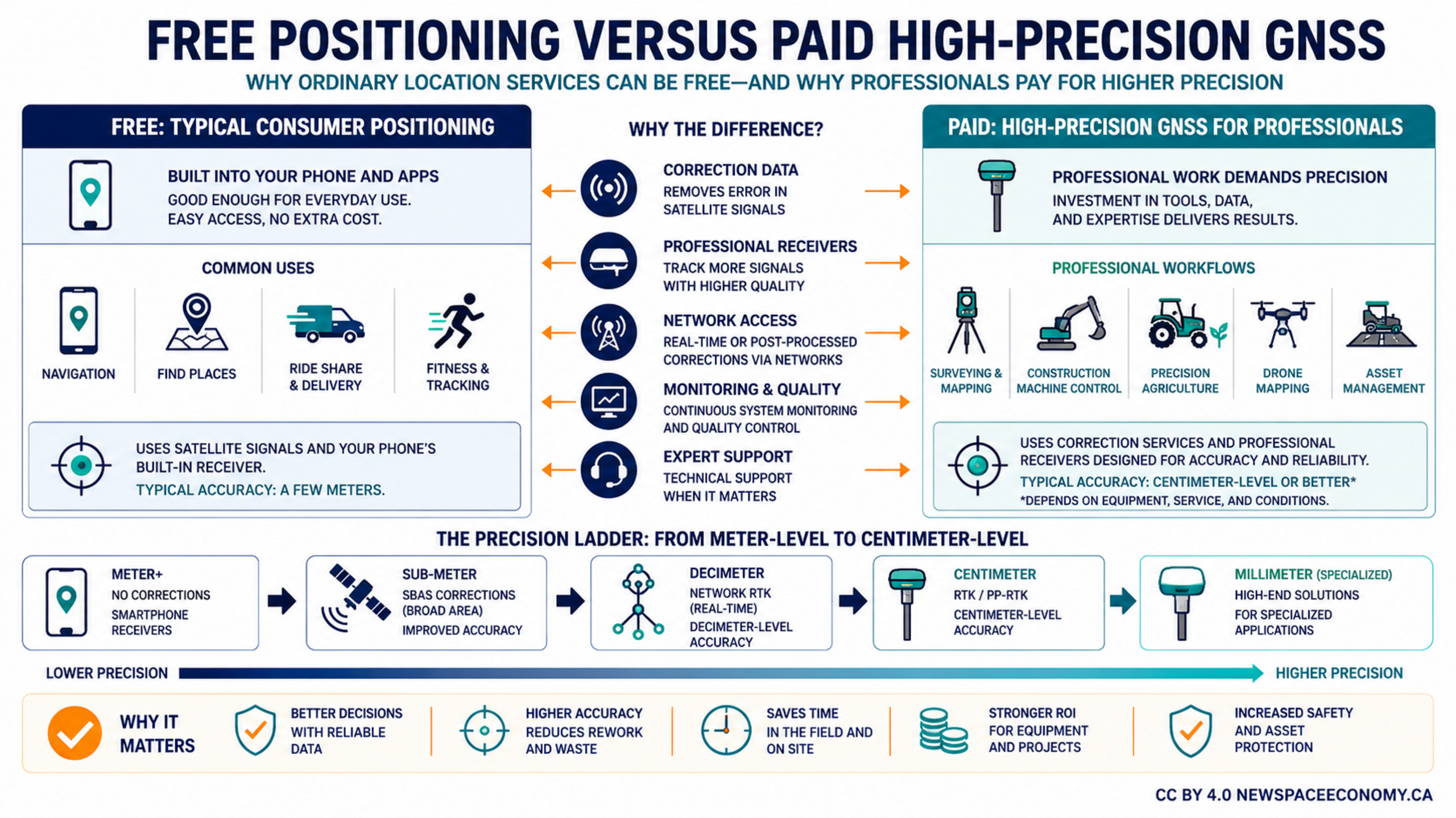
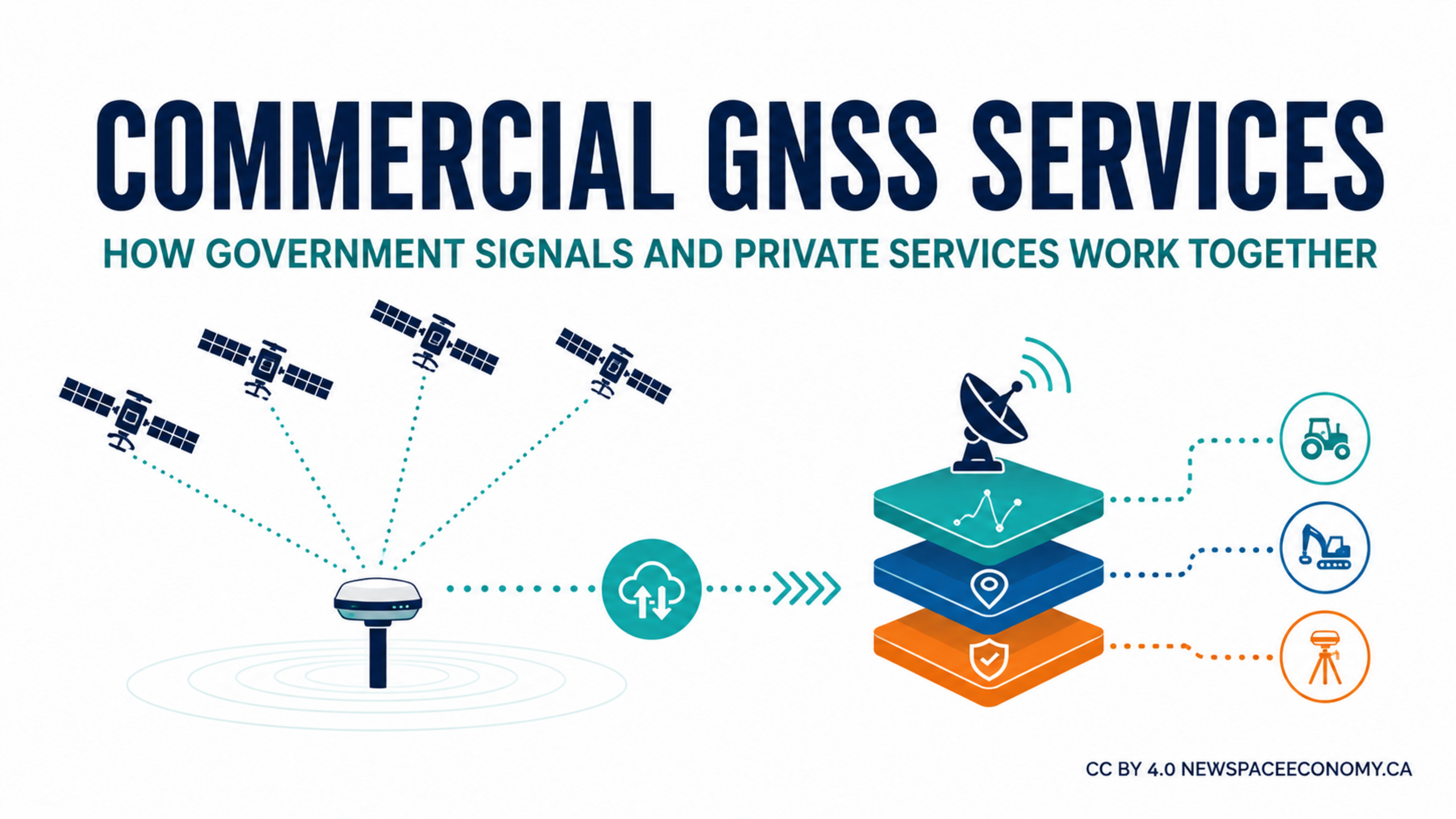
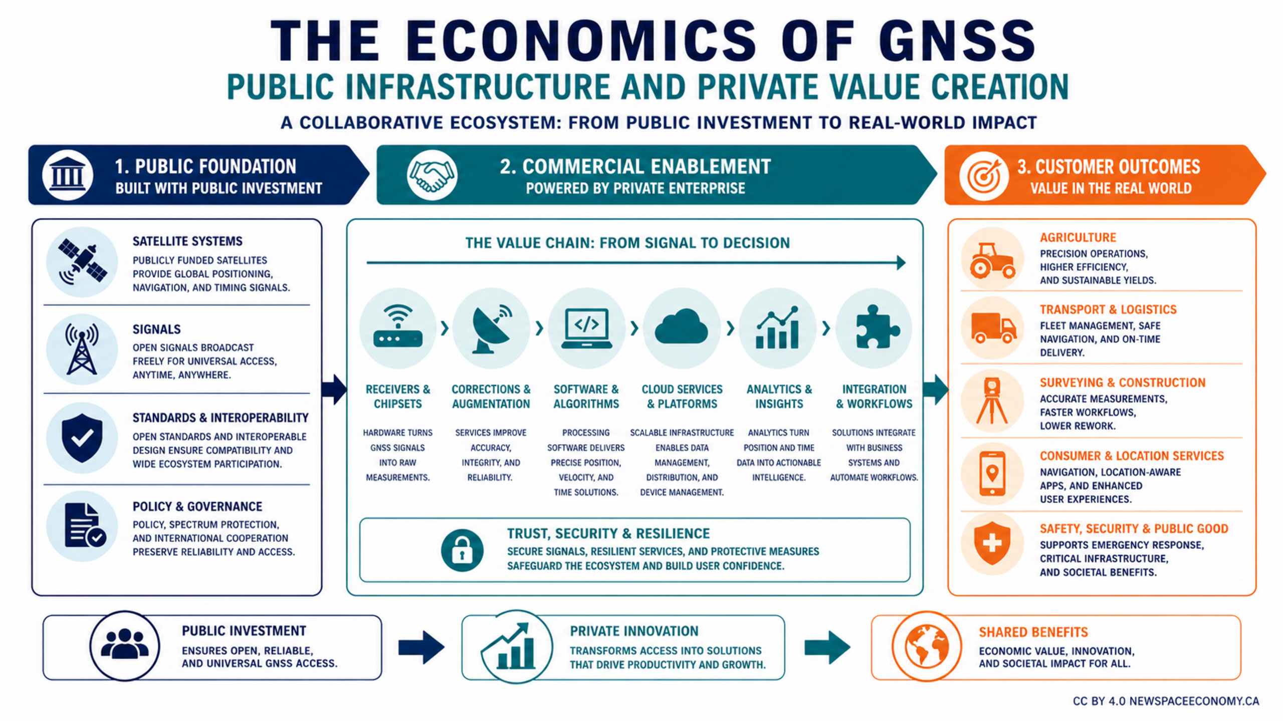
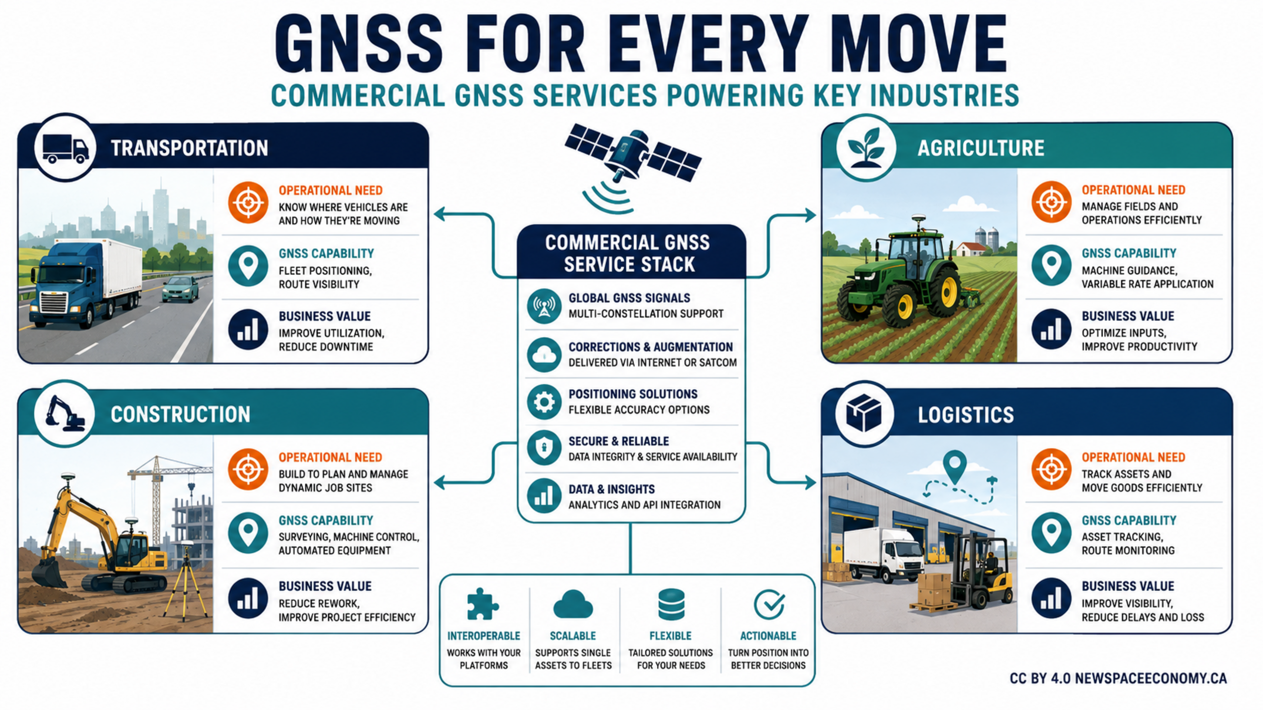
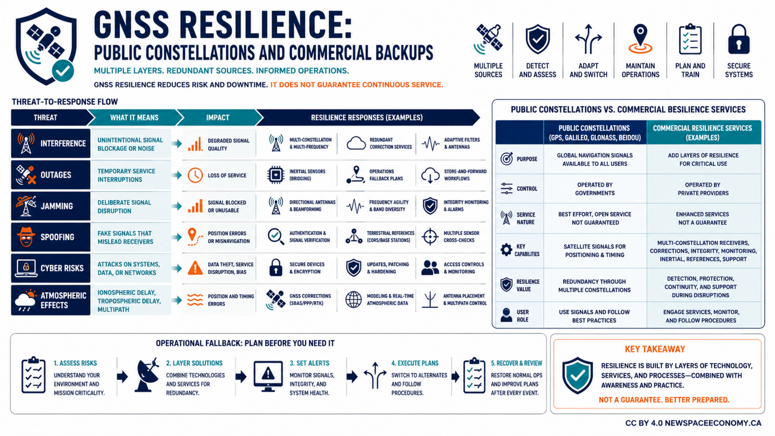
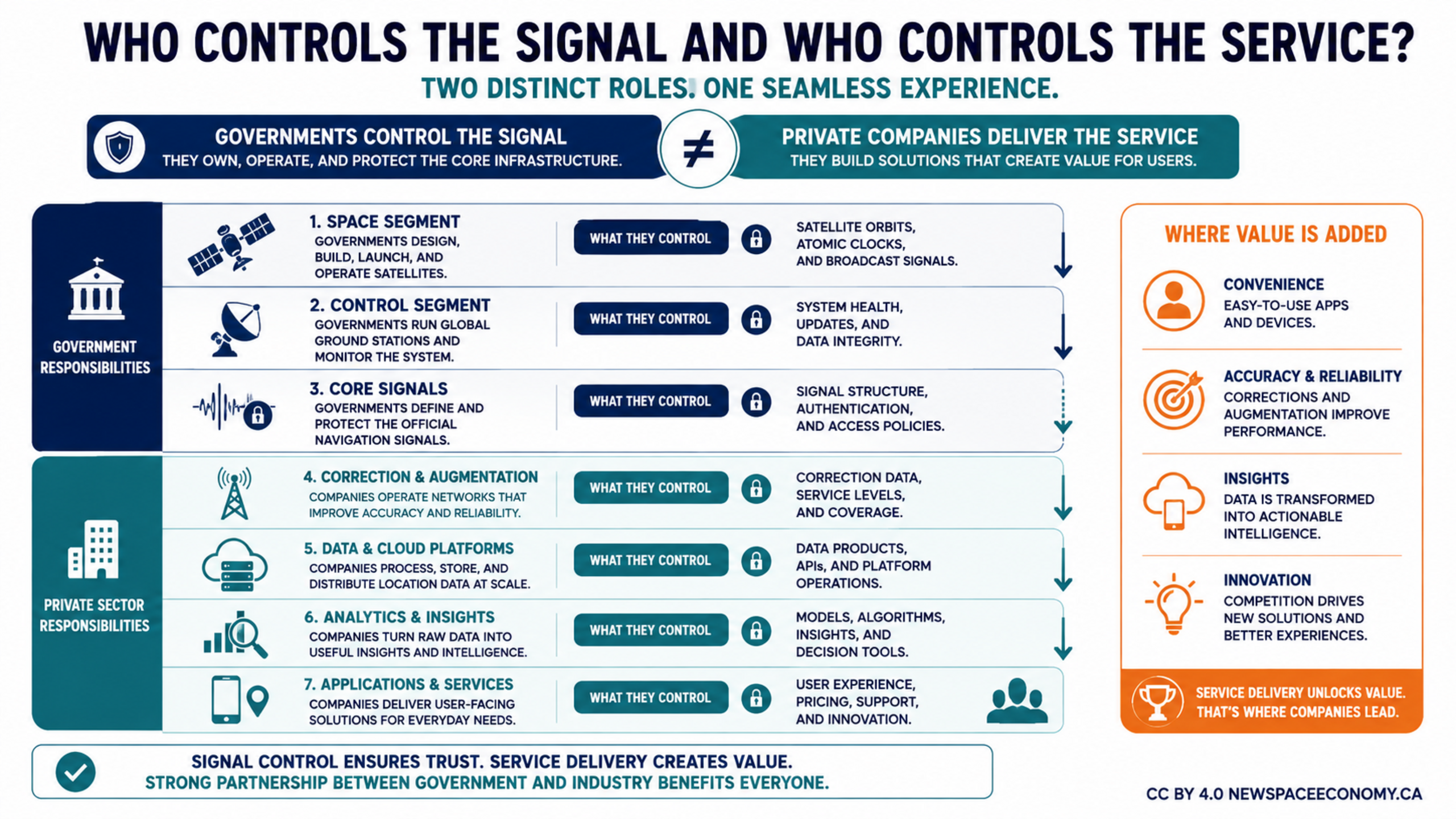
An infographic maps responsibilities across navigation and location-data services. It separates government control of satellites, ground systems, and official signals from private-sector work on correction networks, platforms, analytics, and applications that add user value.
More From This Group