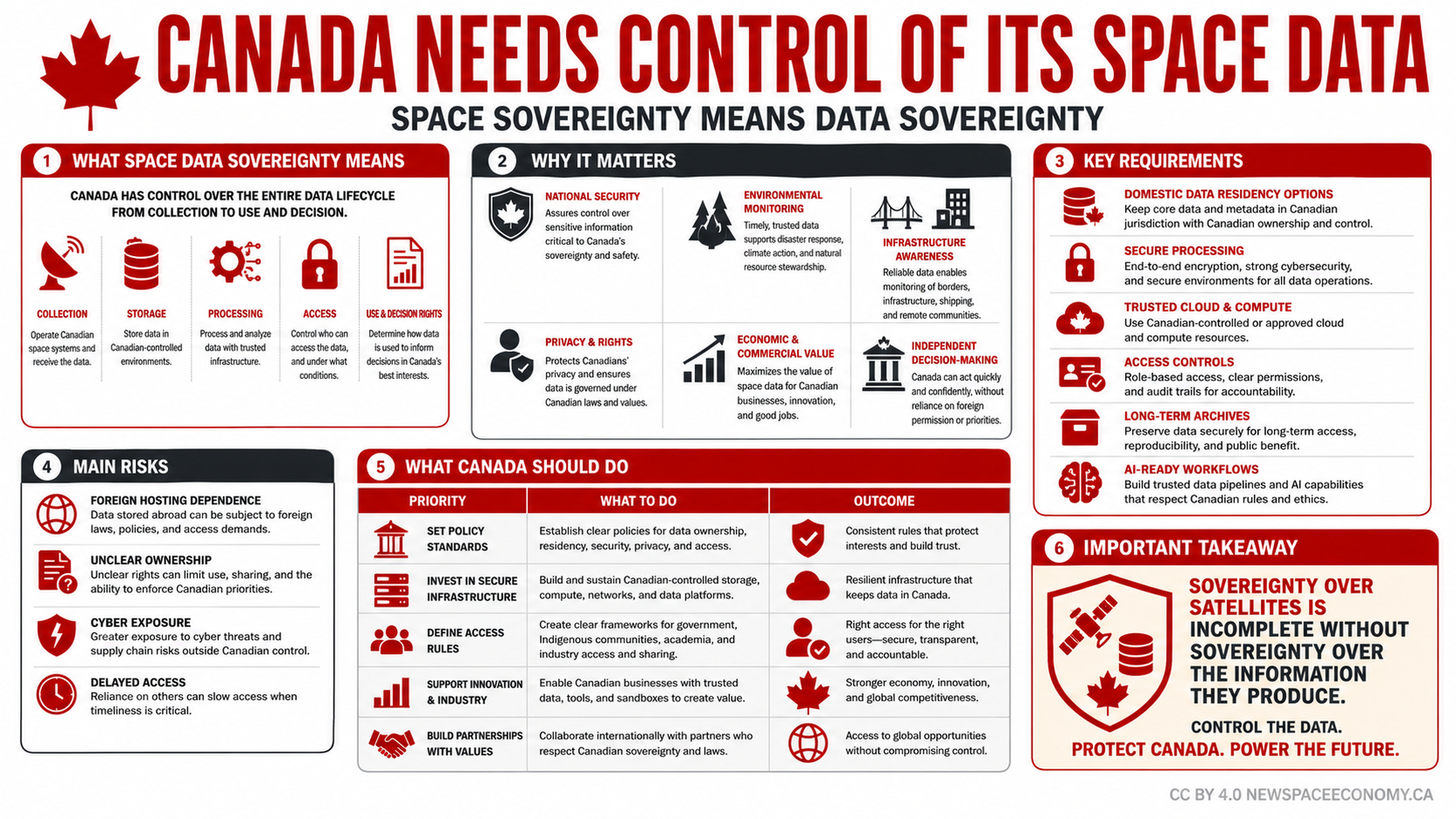
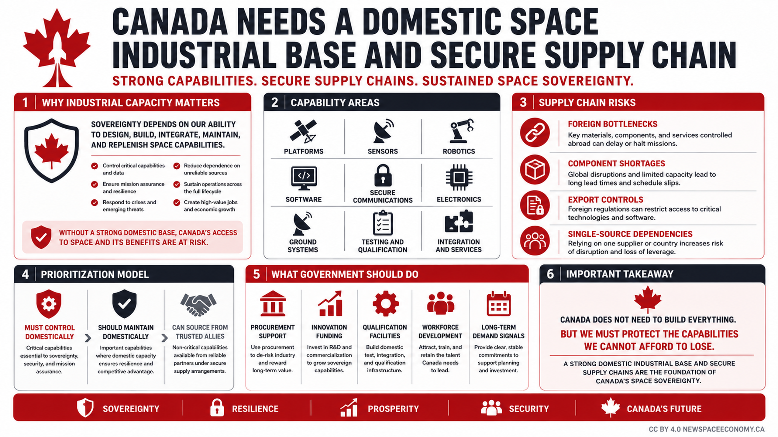
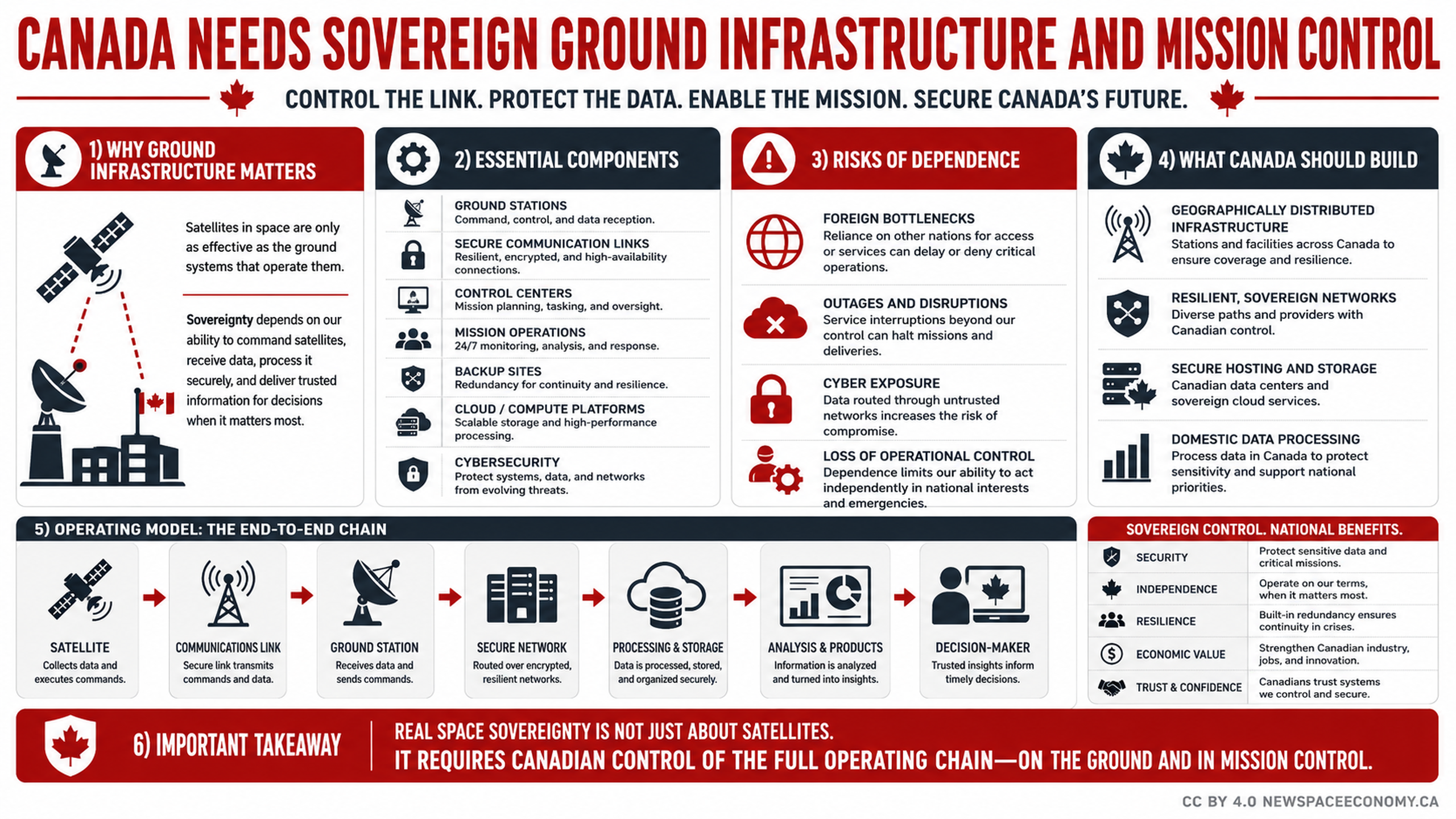
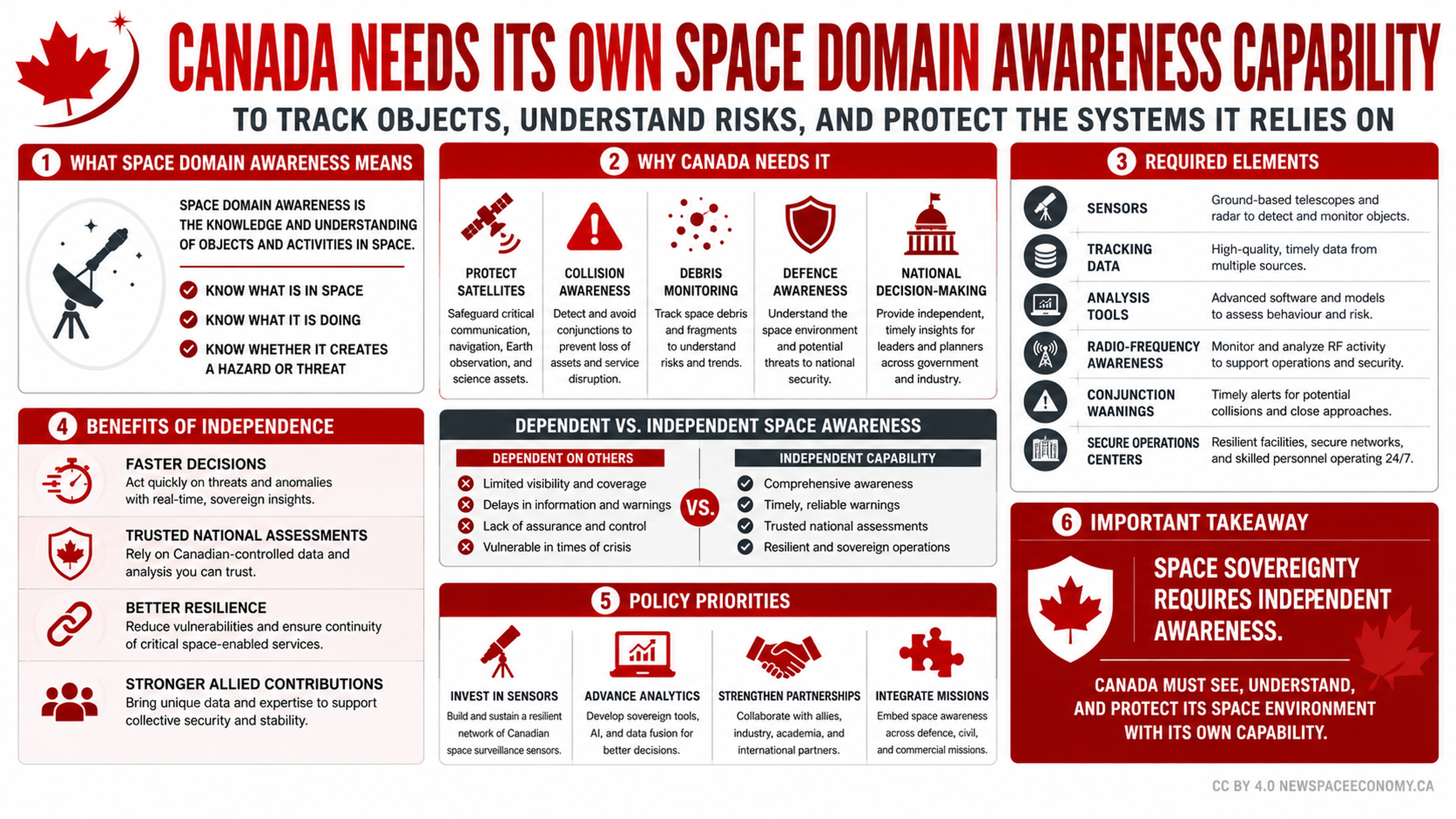
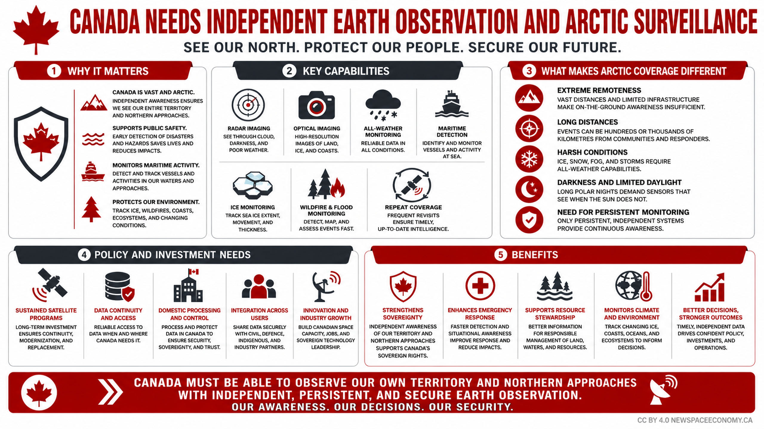
This infographic presents a case for independent and persistent observation of Canadian territory and northern approaches. It connects satellite capabilities such as radar, optical, weather, maritime, ice, wildfire, flood, and repeat monitoring with public safety, sovereignty, environmental protection, emergency response, and informed decision-making.
More From This Group