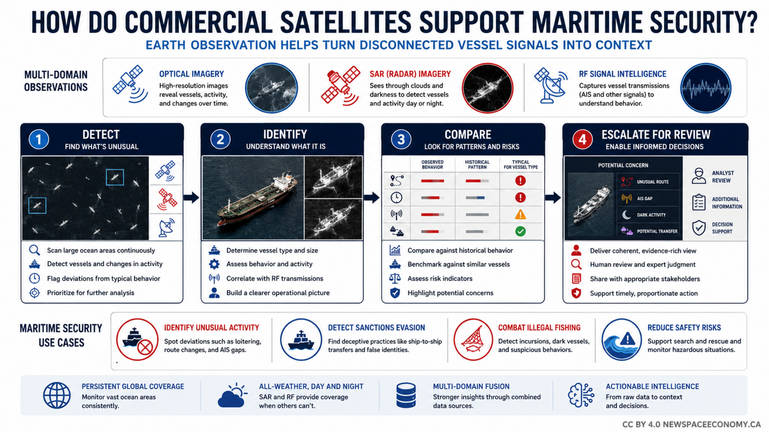
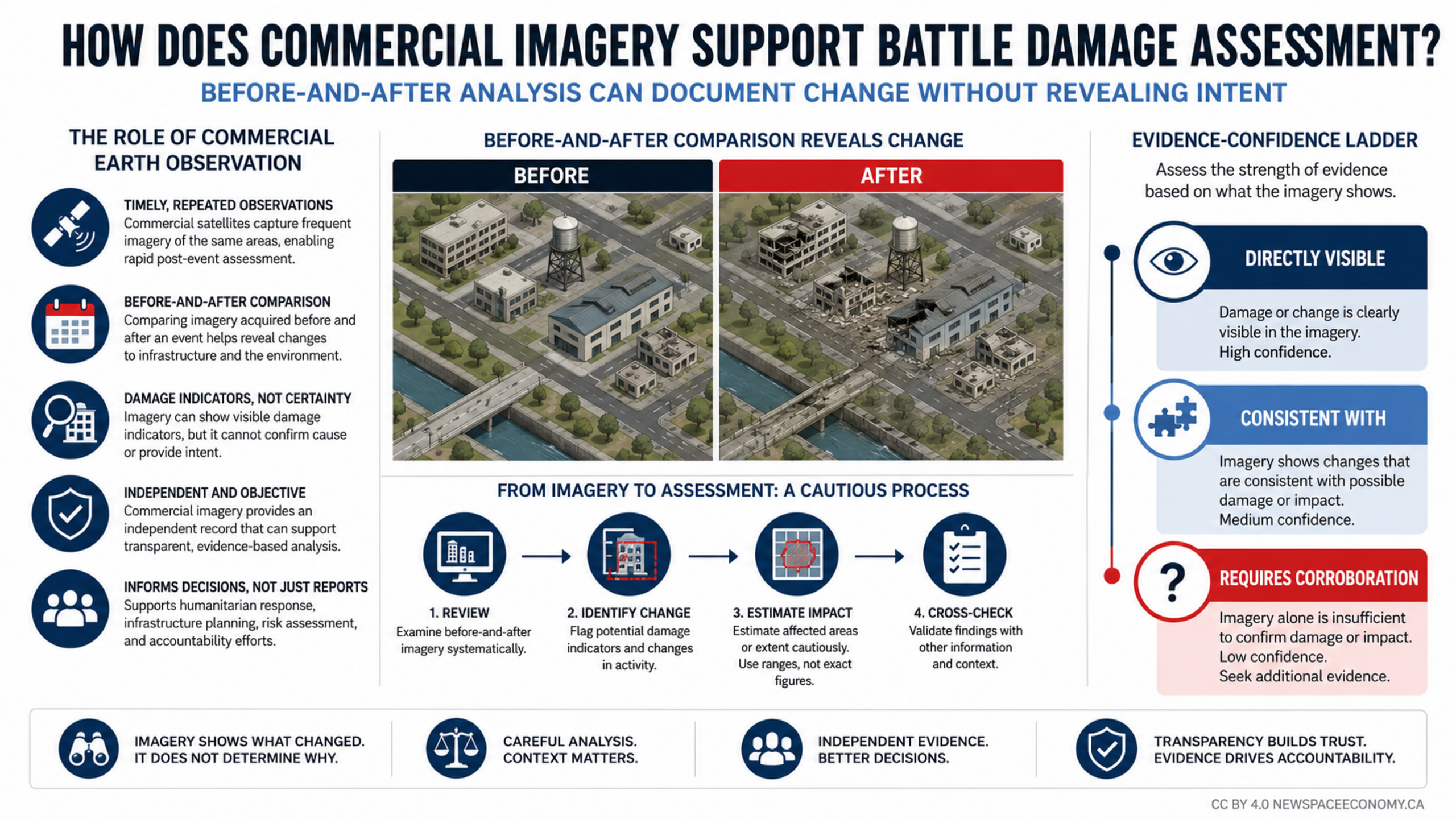
An infographic describes how commercial satellite imagery can support independent assessment of civilian impacts across health, education, water, energy, housing, and infrastructure. It also outlines observable damage indicators, practical limitations, and the need for responsible use, data protection, and human judgment.

More From This Group