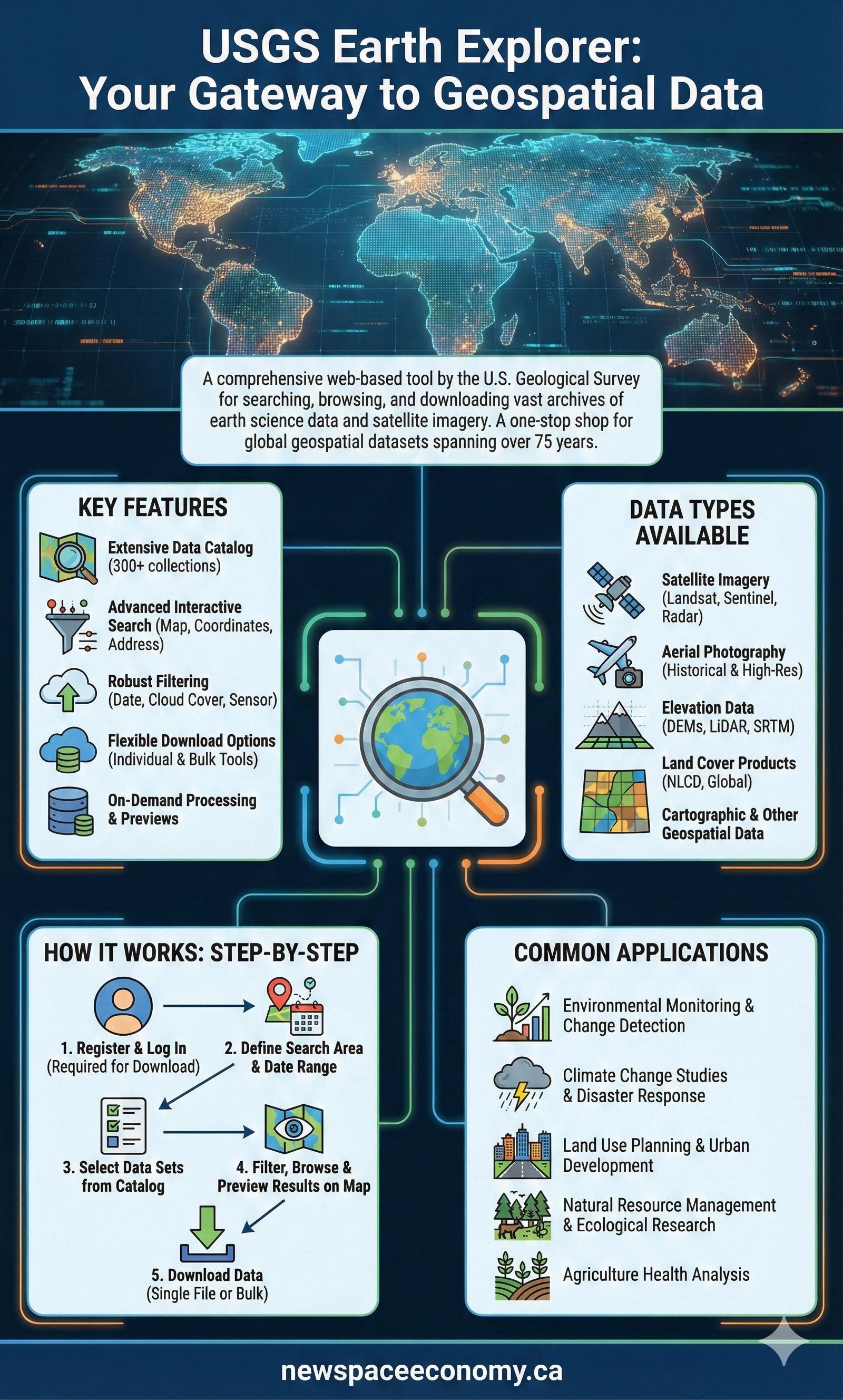
Infographic explaining access to USGS Landsat satellite data through traditional portals and cloud platforms, along with the hierarchy of processing levels for science-ready products and tools for users analyzing land changes and environmental trends since 1972.

More From This Group